utere.sole! - Drohnenvermessung im Baugewerbe

Drone surveying in the construction industry

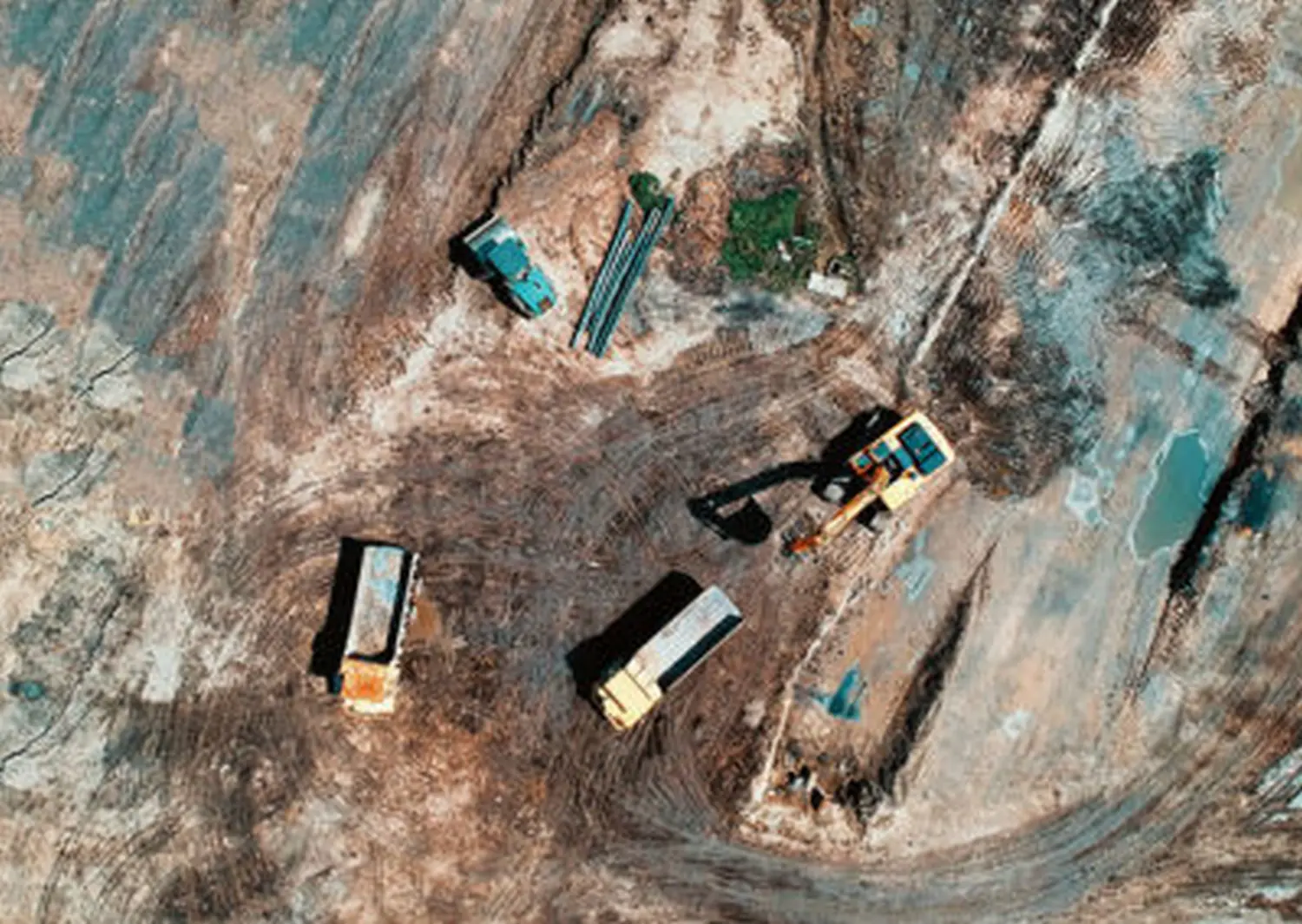
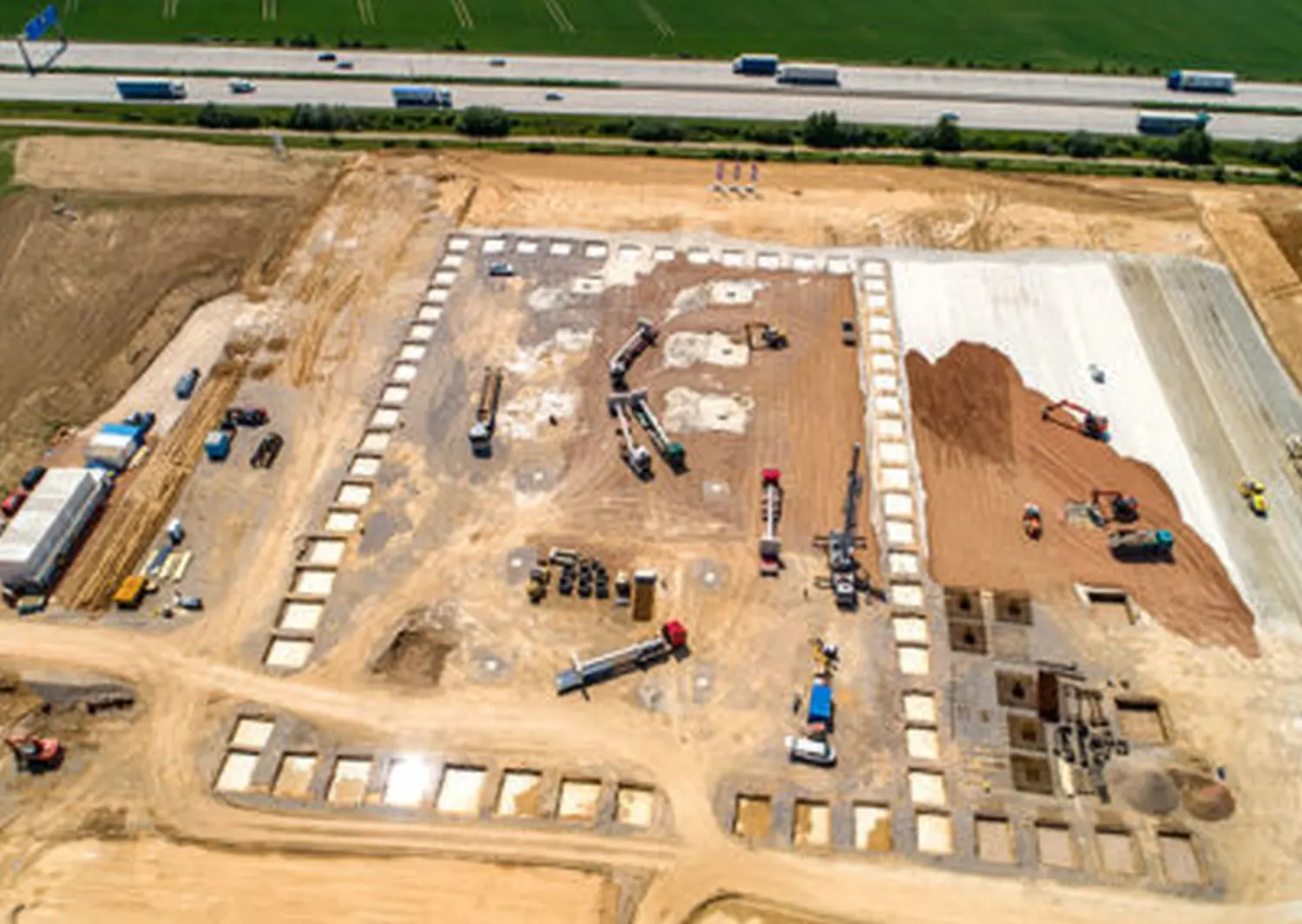
Whether in road construction, building construction, or civil engineering, we offer fast and flexible survey data capture. This data is processed according to your needs and provided in any desired file format.

Data categories:

  • Digital surface model (DOM) as a raster or vector file
  • Digital terrain model (DTM) as a raster or vector file
  • Triangular meshing (triangulation)
  • Digital and rectified ortho-aerial image (DOP)
  • Contour lines and points
  • Colored 3D point cloud
  • Further data on request, in formats such as REB, DXF, DWG, ASCII, TIF, etc.
  • Other file formats, e.g. DXF, DWG, ASCII, TIF, REB, etc.
Learn More

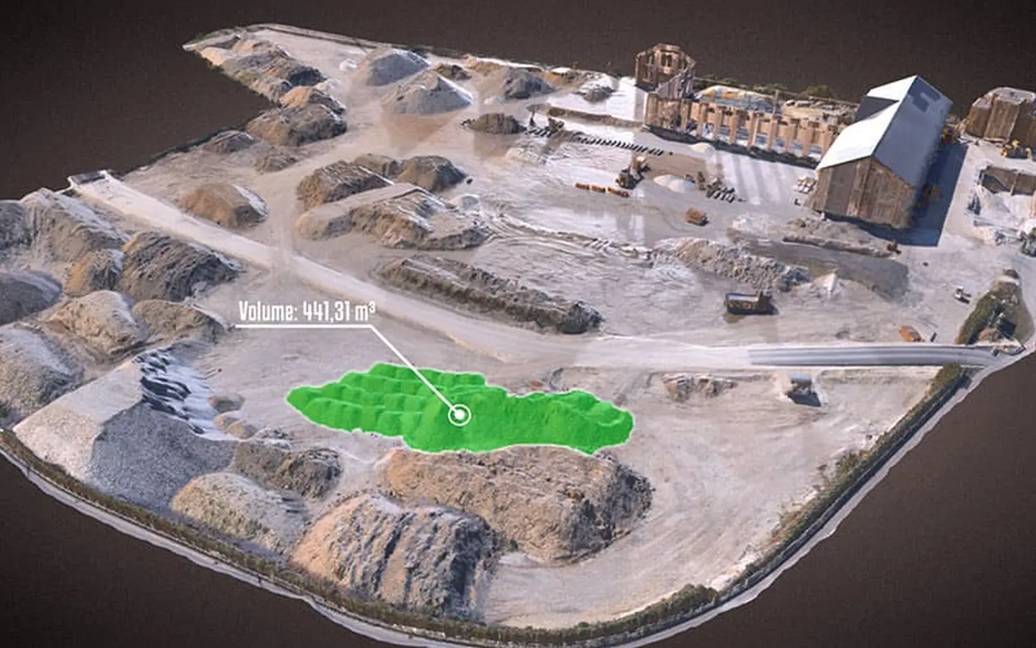
In addition, we can use digital surface data to precisely calculate the excavation required for relocating materials.
This allows volume data to be determined easily and quickly during the calculation phase.

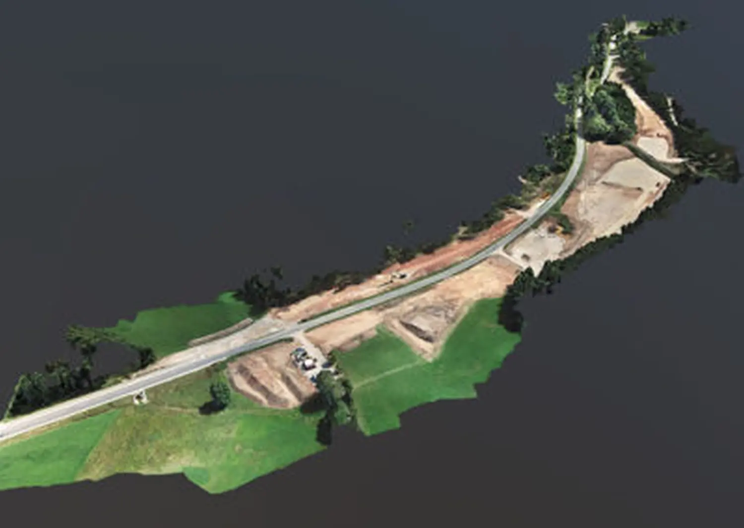
The survey data obtained in this way is ideal for planning purposes and for visualizing construction projects.

Symbol