


Drone-service
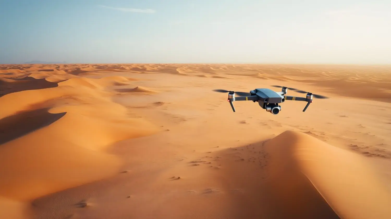
Drone surveying , also known as UAV (Unmanned Aerial Vehicle) or AUS (Unmanned Aircraft System) surveying, is a cutting-edge technique that uses drones or unmanned aircraft to survey terrain, buildings, infrastructure, and other geographical features. These UAVs are equipped with special camera systems and scanners that can capture highly accurate images and scan data from the air.
One of the outstanding, economical features of drone surveying is its ability to deliver precise survey results .
The drones are capable of producing accurate geographical data and 3D models that are invaluable to a wide variety of industries.
Compared to traditional surveying methods, drone surveying is significantly more efficient. It enables faster data collection and requires fewer resources .
Drones are capable of exploring hard-to-reach or dangerous areas, thus contributing to the safety of survey teams by minimizing the risk of accidents.
Discover the new era of data capture with photogrammetry: precise, efficient, and contemporary. With our 2D and 3D drone surveying, we set new standards, particularly in open-cast mining, as well as roof and building surveys. We also offer solutions for building construction, road construction, and civil engineering. DRONE SURVEYING
– POSSIBLE AREAS OF APPLICATION
OPEN-CAST MINE
For a reliable and up-to-date data basis.
CONSTRUCTION
Whether road construction, building construction or civil engineering – we are your partner!
STOCKHOLD & BULK MATERIAL MEASUREMENT
The measurement of bulk materials using drone technology.
FACILITY MANAGEMENT
Perfect for calculating gray and green space maintenance.
MONUMENT PRESERVATION & BUILDING RENOVATION
Surveying also plays an extremely important role in this area.
ROOF & FACADE MEASUREMENT
Precise measurement of areas that are difficult to access and record.
SURVEYORS FOR PHOTOVOLTAIC PROJECTS
Measurement specifically for the planning, installation and maintenance of photovoltaic systems.
Multispectral images
Using monochrome sensors, information about the health of the plants is obtained from the daylight reflected by the plants. Combined with the data from the daylight sensor, you get the most accurate NDVI values.