


Drone surveying for opencast mining
Precise planning in an open-cast mine requires a reliable and always up-to-date database.
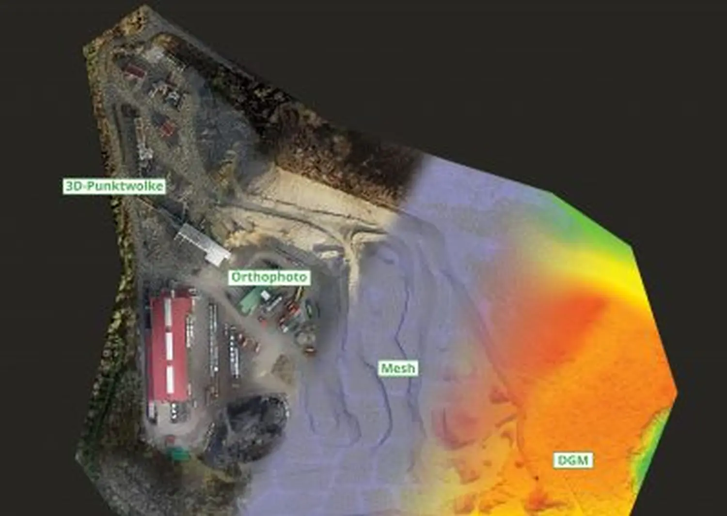
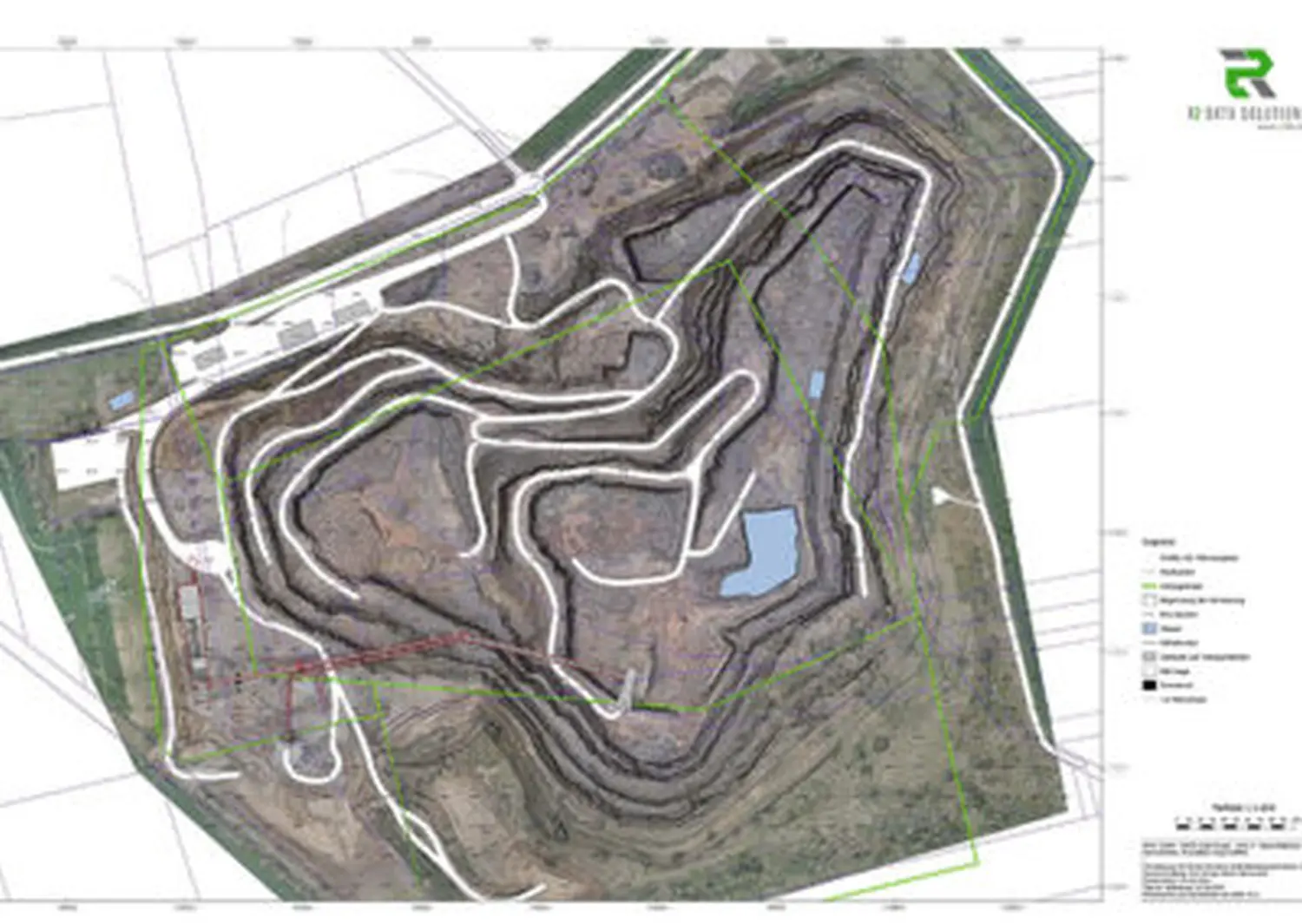
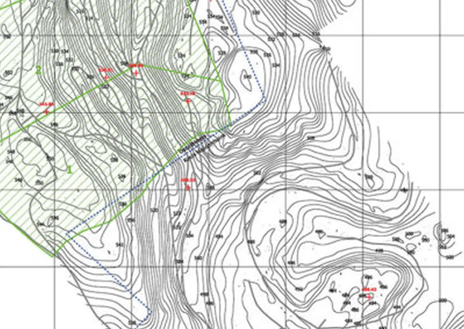
In open-cast mines, especially quarries, the sometimes difficult terrain and extensive areas pose a challenge for conducting surveys manually, either terrestrially or using GPS. Using drone flight, we offer you an accurate and adaptable surveying solution.
Digital data:
If you do not require complete mapping, we can provide you with all the necessary digital data for your individual processing. This is available in all common formats.
Data categories
Mass analysis
By conducting two separate flights within a defined period of time or by comparing your previous survey data with our newly acquired data, we are able to carry out an accurate mass determination of the relocated waste and the extracted raw materials.
